
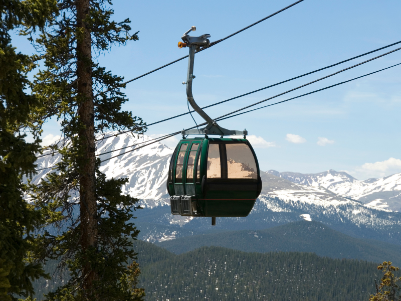
The first snow is already falling up high. Here’s what forecasters expect from a strong El Niño winter, why this one matters more than most, and where the best odds may be.
By Nookhaven Staff | October 21, 2026
It’s still pumpkin season in Denver. Leaves are coming down, porches are dressed for Halloween, and plenty of afternoons still feel like September. But look west and the season is already turning.
Last week, the first snow of the season finally reached the high country, albeit a few weeks later than usual. Keystone, Arapahoe Basin, Crested Butte, Vail, and Steamboat all picked up their first flakes, and snow guns are now running at A-Basin, Keystone, Copper, and Loveland. Keystone is already selling lift tickets for Saturday, October 24, and A-Basin is expected to open around the same time, conditions permitting. Like every early opening, it will mean a single ribbon of man-made snow, but it’s a start. Down here, Denver’s first measurable snow typically arrives around October 19, so the city’s turn is coming soon.
So it’s a fair time to ask what kind of winter we’re in for. For the first time in years, the answer comes with a strong signal, and it points somewhere a little different than usual.
Why this winter matters more than most
Last winter was one for the record books, in the wrong way. By late March, Colorado’s mountain snowpack sat at about 38% of average, the lowest in more than 40 years and possibly ever, according to the Colorado Climate Center. October through February was the warmest such stretch on record.
That shows up in all of our lives, skiers or not. Somewhere between 80% and 90% of Denver Water’s supply comes from melting mountain snow. With so little of it last spring, reservoirs fell well below normal, and Denver Water ended lawn watering on October 1, earlier and more firmly than usual. (We covered what that means for your yard in How to Know Your Lawn Is Ready for Its Last Mow.)
So this winter’s snow isn’t just about powder days. It’s next summer’s water. That’s why so many people along the Front Range will be watching the forecast closely this year, whether or not they own a pair of skis.
What the forecast says
On October 15, NOAA’s Climate Prediction Center released its official winter outlook for December through February. The headline is El Niño, and a big one. Forecasters give it an 83% chance of becoming the strongest El Niño on record for October through December, in records going back to 1950.
A strong El Niño usually supercharges the southern branch of the jet stream, steering storms across the southern half of the country. NOAA’s outlook reflects that. Arizona and New Mexico have 40% to 50% odds of a wetter-than-normal winter. Colorado and southern Utah lean wet too, but more gently, mostly in the 33% to 40% range. Farther north, the outlook tilts milder and drier.
Worth keeping in mind
- NOAA forecasts precipitation, not snowfall. A wet winter usually means a snowy one in the mountains, but not always.
- Odds aren’t promises. A 40% chance of above-normal precipitation still leaves a lot of room for an ordinary winter.
- The outlook updates monthly. The next one comes November 19.
What El Niño has meant for Denver
For the Front Range, the more interesting story is about individual storms, not the winter overall. A look at Boulder’s snowfall records found that storms of 20 inches or more were about three times as likely in El Niño years as in La Niña years. The October 1997 blizzard and the December 1982 storm both arrived during the two strongest El Niños of the last century.
Those big storms tend to come in fall and spring, when there’s more moisture in the air but it’s still cold enough for snow. Midwinter during El Niño is often on the dry side. Winters as a whole haven’t been much wetter. So the El Niño pattern along the Front Range looks less like steady snow and more like long quiet stretches broken by a storm worth remembering. If you’ve been meaning to buy a decent snow shovel, this might be the year.
Where to chase it
If the southern storm track holds, the best odds this winter sit south of I-70. A few places worth putting on your radar:
- Wolf Creek, high on the Continental Divide in southern Colorado, is known for some of the deepest natural snow in the state and is often one of the first to open. Plan on roughly four and a half to five hours from Denver.
- Purgatory, outside Durango, is set to open November 20.
- Crested Butte (November 25) and Telluride (November 26) sit farther south than the I-70 resorts and could benefit if storms favor the southern half of the state.
- Monarch, off Highway 50 near Salida, is about three hours from Denver, small and easygoing, and a good change of pace from I-70. It’s targeting an early-to-mid December opening.
- Taos, in northern New Mexico, sits squarely in NOAA’s wettest zone and is a little farther from Denver than Wolf Creek.
Every opening date depends on snow and is subject to change, so check before you go.
How to make the most of it
Stay flexible. In a southern-leaning winter, the best days may come with only a few days’ notice. Keeping a weekend or two loosely open is a strategy, not indecision.
Check your pass. Many Front Range skiers buy for I-70, and some southern mountains are on different passes or none at all. Look at what yours covers before you plan a trip.
Go midweek if you can. Southern mountains are smaller towns with less lodging, and storm-chasing weekends fill up quickly.
Prepare for the drive. Mountain passes like Wolf Creek get serious snow. Colorado’s traction law requires good tires, and snow-rated tires or chains for two-wheel-drive vehicles, whenever it’s in effect. Pack a winter emergency kit.
Snow, without skis
Not every snow day needs a lift ticket. Snowshoeing and cross-country skiing open up trails that are crowded in summer and quiet in winter, and Colorado’s state parks and Nordic centers make it easy to try without much gear. Closer to home, a big Front Range storm means sledding hills, a quiet street, and that particular hush after a heavy snowfall.
And even from the city, there’s a quieter satisfaction in a good snow year: knowing the mountains are filling up with next summer’s water.
Bound for snow
Whether you’re planning a road trip to chase the storms south or just hoping for a few good ones to fill the reservoirs, most of us along the Front Range are rooting for the same thing this winter. The first flakes are already falling up high. Here’s hoping there’s plenty more where that came from.
We love sharing thoughtful perspectives on home, place, and everyday living. If this sparks a question or curiosity, we’d always be glad to connect and continue the conversation here.